
Safeguarding California's Streams
How Well Permitting Can Protect Water For People And Wildlife
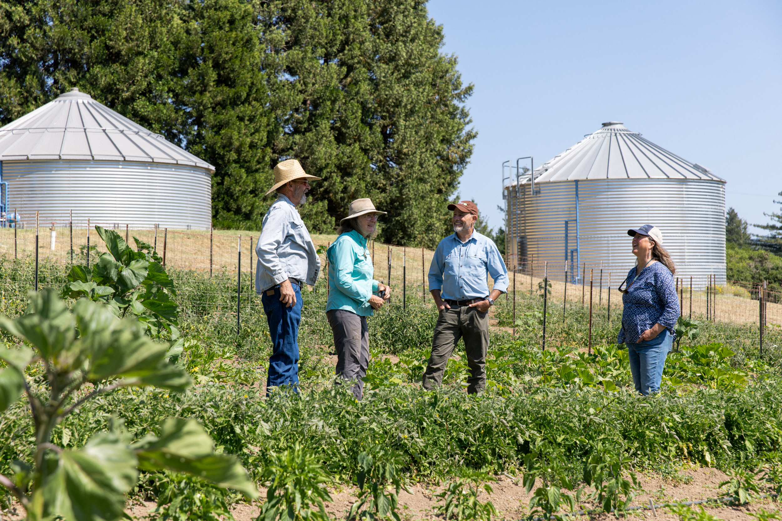
California counties can play a critical role in permitting new wells to protect water security, streamflow, and wildlife.
Sustainably managed groundwater serves as a buffer during droughts, sustaining communities, agriculture, and ecosystems. A landmark court decision now places a critical responsibility on counties and local governments to ensure new wells do not harm surface water or public trust resources. Learn how counties can take action—and how TNC and partners can help.
Why Groundwater Matters
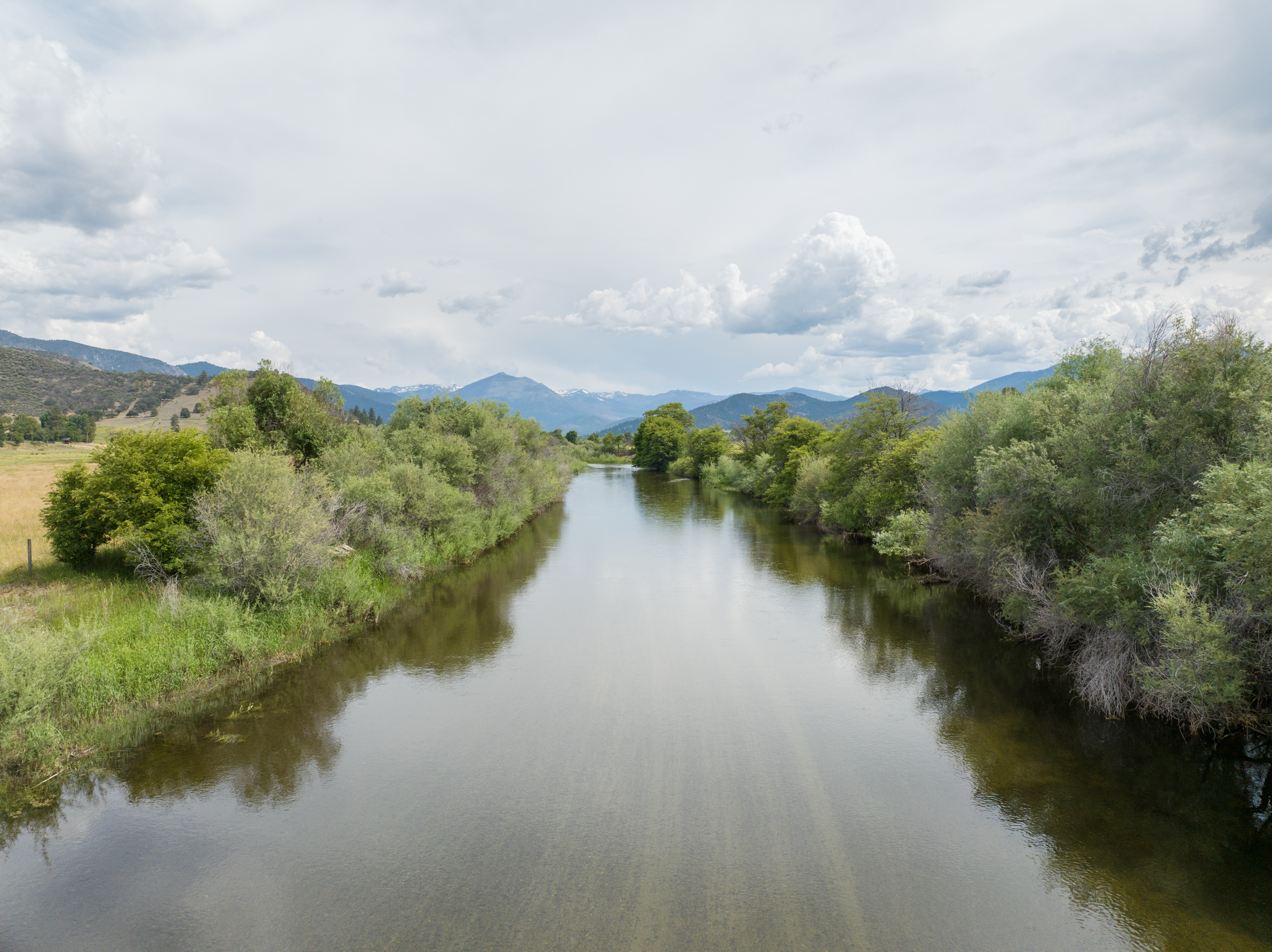
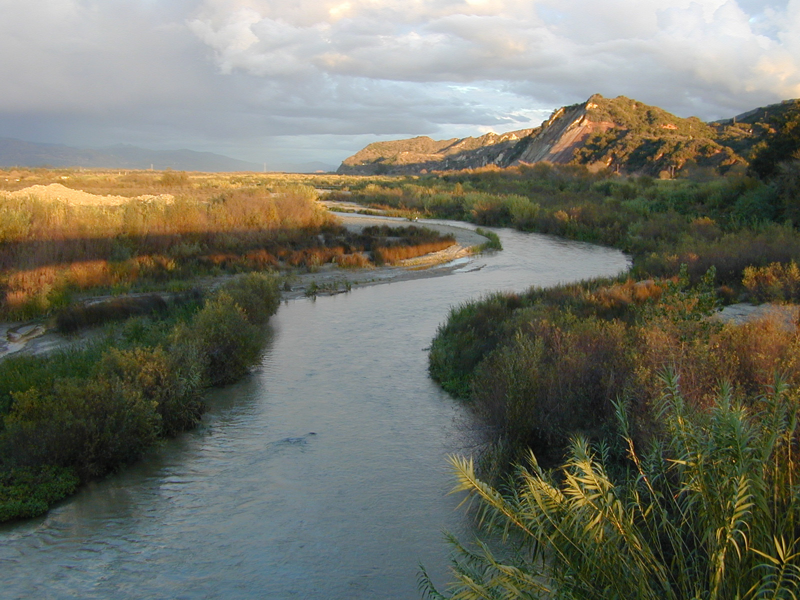
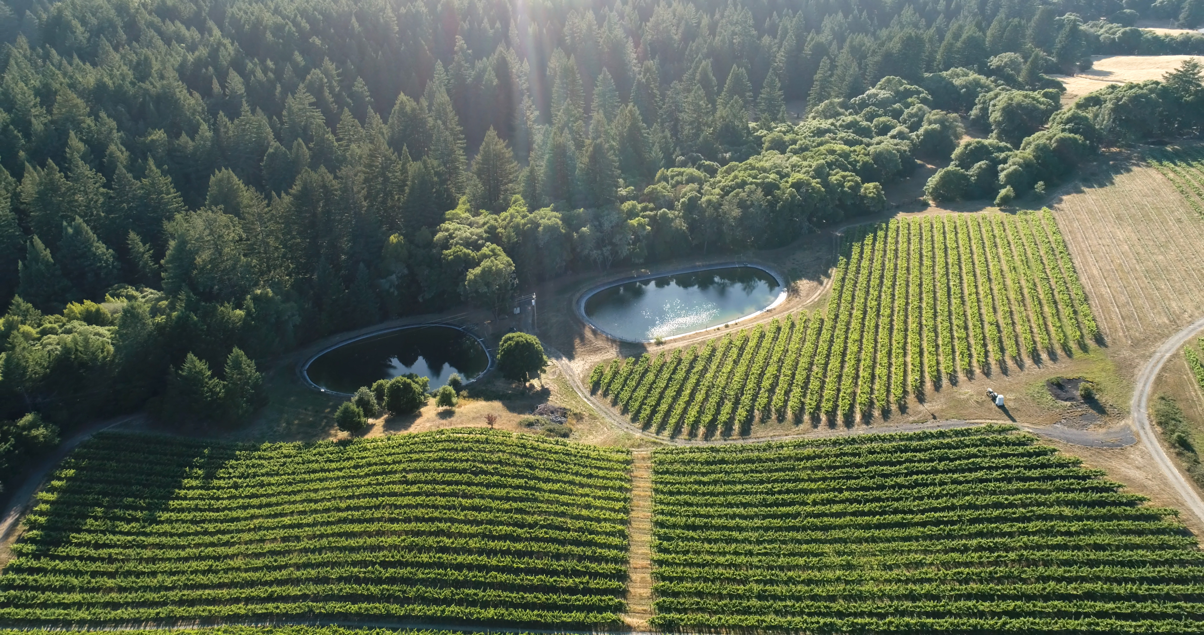
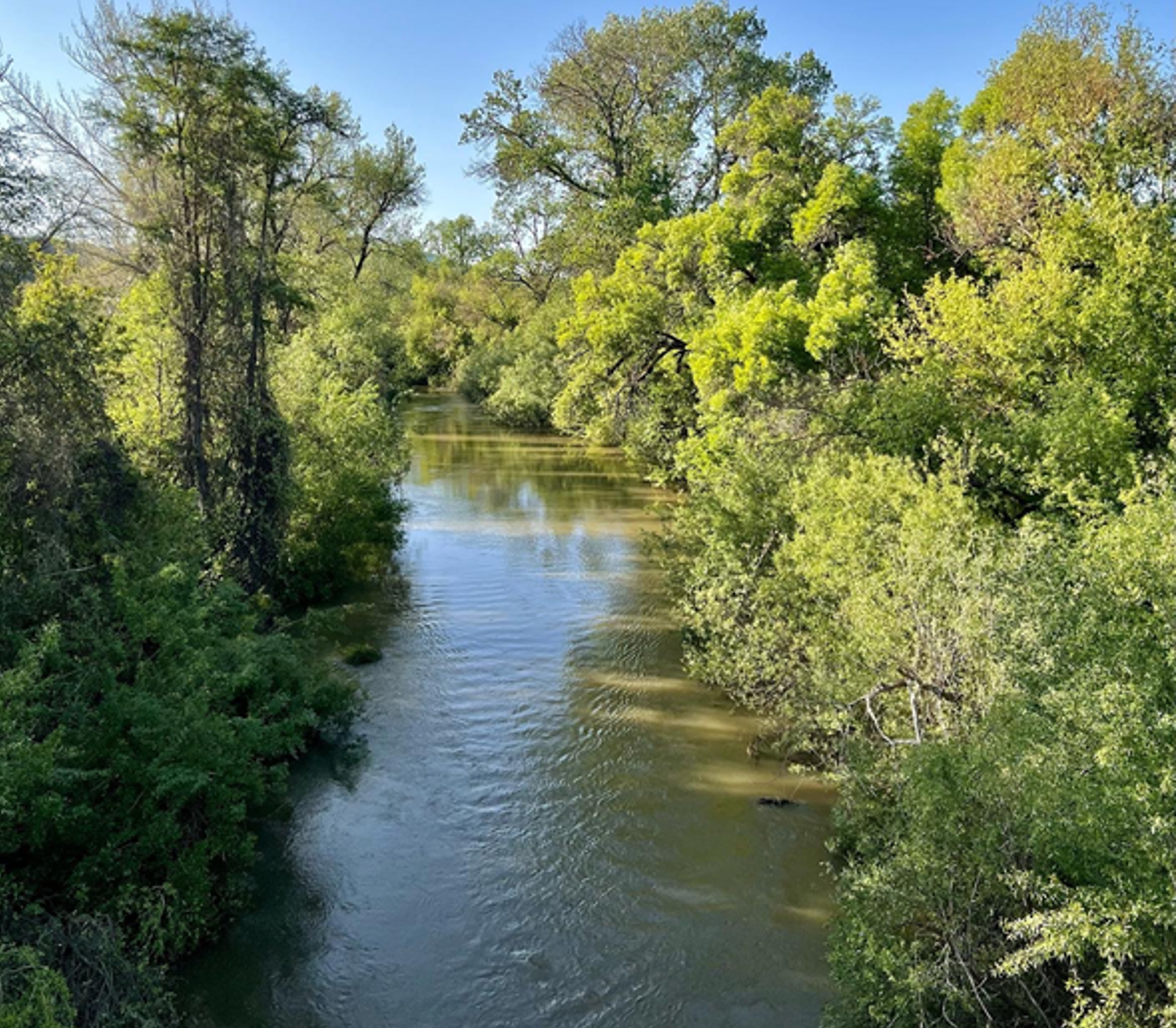
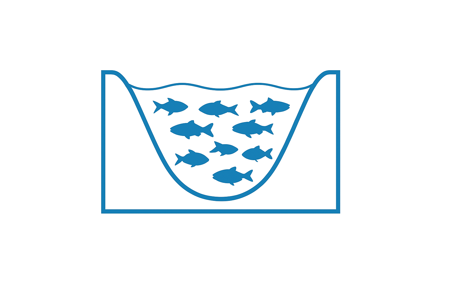
Groundwater is more than a hidden reservoir beneath our feet—it is the foundation of California’s rivers and streams. During the state’s long, dry summers, when rainfall and snowmelt have slowed, most of the water flowing in creeks and rivers comes from underground aquifers. This steady “baseflow” keeps streams running, provides drinking water, supports agriculture, and sustains fish, wildlife, and communities.
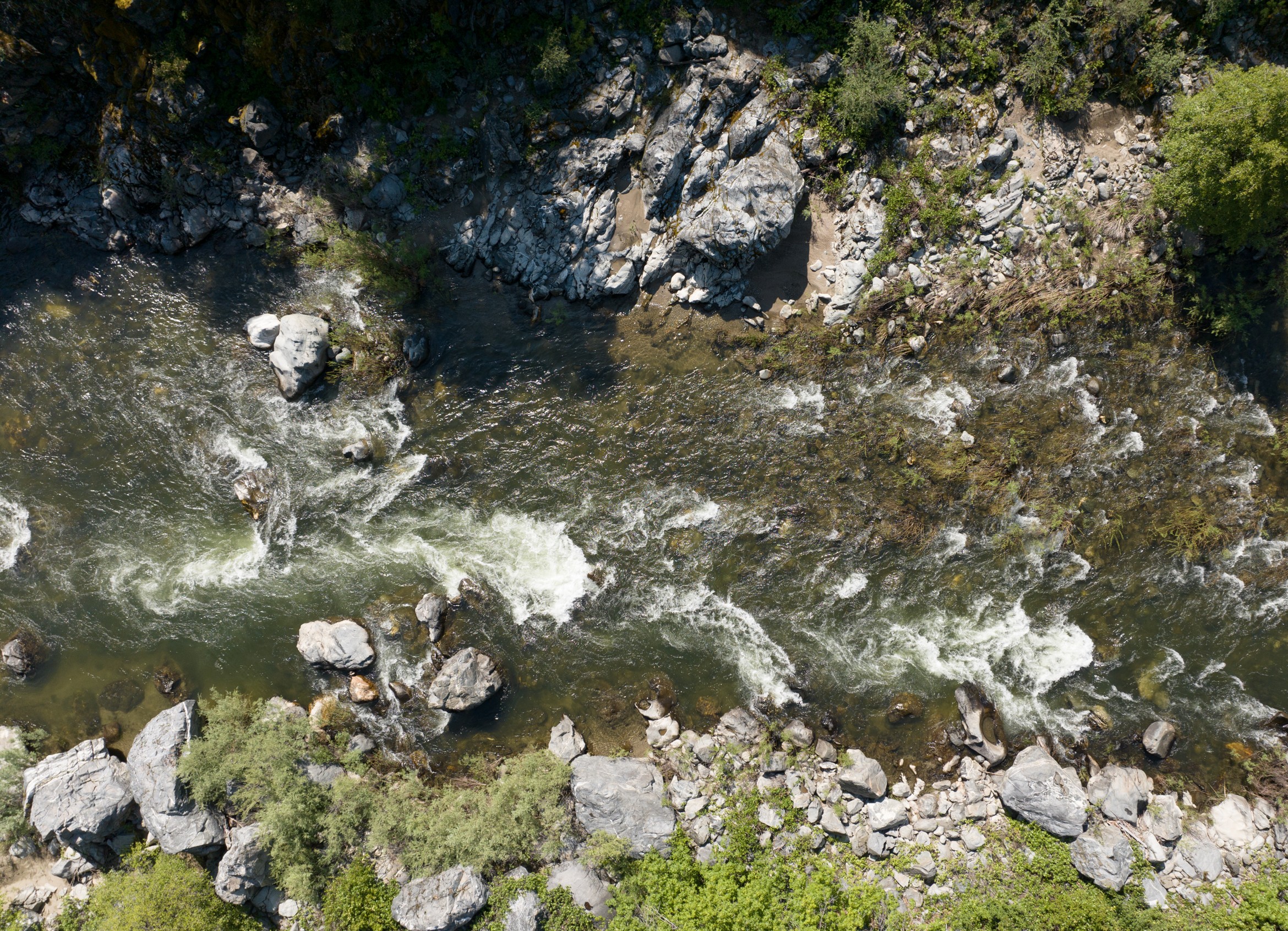
Streamflows
Groundwater keeps rivers flowing during dry summers providing water for people, recreational oppotunities for communities.

Drinking Water
Groundwater is the source of drinking water for millions of people across the state of California.
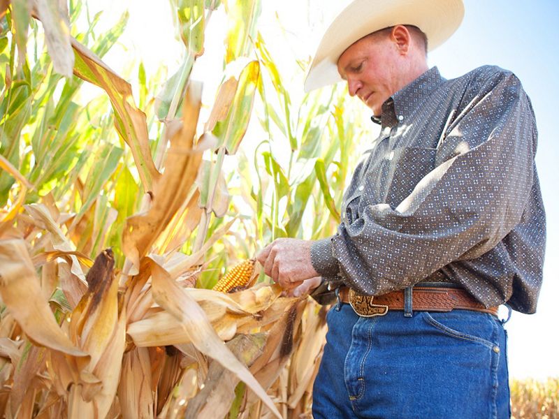
Agriculture
Groundwater provides essential water supplies for farms to sustain food production and agricultural economies.
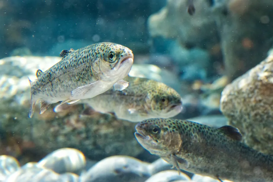
Wildlife
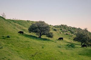
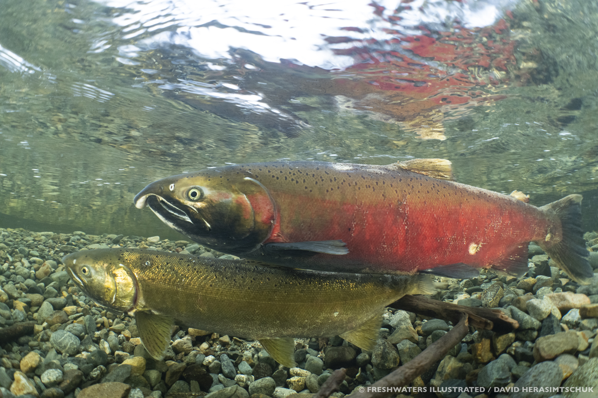
Groundwater contributions to streams is essential for sustaining fish and wildlife habitats especially in the dry season.
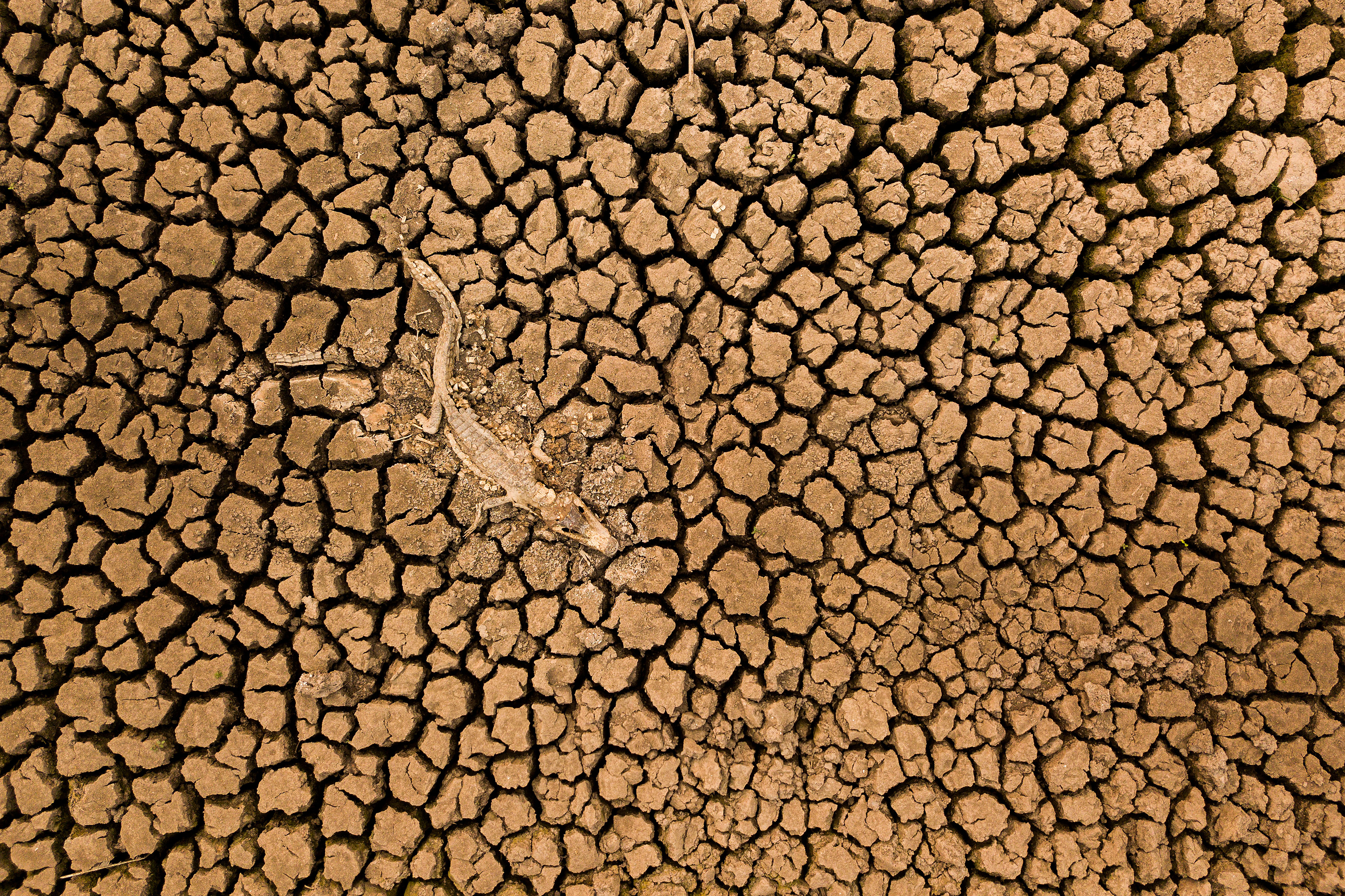
Drought
Groundwater is a drought resilient water supply that serves as a buffer against the impacts of drought when sustainably managed.
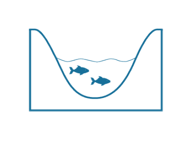
Groundwater contributions to streamflow are declining for three main reasons
As California’s aquifers face growing demands and declines in groundwater levels, the vital streamflow that groundwater provides to rivers is also diminishing – threatening the ecosystems and communities that rely on them.
Changes in Land Use
Urban development, including buildings, roads, and drainage culverts, accelerates stormwater runoff. This reduces the amount of water that can infiltrate into the ground, thereby decreasing the recharge and replenishment of aquifers.
Growing Demands
Population growth and increasing agricultural demands have driven the drilling of new wells, leading to declines in groundwater levels as water users seek more reliable and drought-resilient water sources.

The Permitting of New Wells
Counties are permitting new wells without understanding the impacts on groundwater and its contributions to streamflows.
The Streamflow and Groundwater Connection
This illustration shows how water flows through natural systems and the impacts that well extractions can have as they deplete both groundwater and streamflow.

Environmental Law Foundation (ELF) v. State Water Board
A 2018 court ruling regarding the Scott River changed how California law treats surface water and groundwater. ELF v. State Water Board requires all California counties to ensure well permitting ordinances prevent undesirable impacts on surface water and public trust resources, including fisheries, aquatic ecosystems, recreation, and navigation.
Quote: ELF v. State Water Board
As a subdivision of the State, the County ‘shares responsibility’ for administering the public trust and has a duty to consider the impacts of new wells on public trust uses in the Scott River, when it issues permits.
The far-reaching impact of this ruling are already being felt. In response to a series of lawsuits, Sonoma County has attempted to update its well ordinance to address impacts of new wells on streamflows essential for supporting salmon and steelhead populations. Learning from Sonoma and other efforts, Santa Cruz County successfully completed an update in January 2025. Several other counties have also initiated similar efforts.
However, these counties have faced complex technical and policy questions in the absence of clear guidance from the state, as well as resource constraints to undertake a process to update their well ordinance. This is why The Nature Conservancy (TNC) is engaging with local communities, agencies, and diverse stakeholders to assist counties in successfully updating their well ordinances.

There are many tangible, local benefits when counties take action on well ordinances
Approximately 85% of Californians depend on groundwater for at least part of their water needs. Groundwater is the primary source of dry-season surface water, sustaining streams and wetlands through summers. If sustainably managed, groundwater can meet these needs with greater reliability to serve as a buffer during droughts and providing essential streamflow for fish and wildlife.
Water Security
Improving sustainable management of groundwater resources ensures that groundwater will be available in future droughts to meet the needs of communities and wildlife. Groundwater is a primary source of drinking water for communities, contributing up to 60% of the state’s water supply in dry years. Avoiding impacts of new wells on existing groundwater users is therefore essential for enhancing water security and building climate resilience for drinking water, agriculture, and the habitats of fish and wildlife, especially with increasing drought frequency and severity.
Protecting Water Users
By making certain that new wells don’t undermine existing surface water rights, permitting guidelines can benefit current water users. Wells can deplete streamflow that is otherwise allocated to existing water rights. Properly designed well ordinances can ensure that these rights are upheld, help prevent conflicts between water users, and promote fair use of water resources. With sustainable management, local governments can support agricultural activities, maintain ecological balance, and provide reliable water supplies for communities. This protection also helps in preserving the natural flow regimes of rivers and streams, which are vital for the health of aquatic ecosystems.

Healthy Communities
Healthy creeks support clean water and thriving ecosystems, which benefit local residents through improved public health and recreational opportunities. They reduce flood risks and recharge groundwater, helping communities adapt to drought and climate variability. When creeks are restored and protected, they also foster civic pride and stewardship, strengthening connections between people and their environment.
Healthy Ecosystems
Healthy rivers provide social, economic, and environmental benefits that communities value. Many ecosystems, such as wetlands, rivers, and lakes, rely on groundwater to sustain their flora and fauna. By managing groundwater levels sustainably, counties can meet conservation goals as well as regulatory requirements related to protected species and their habitats. Protection of groundwater dependent ecosystems also supports recreational resources, promotes biodiversity, and enhances the resilience of ecosystems to environmental changes.
Fills the Gaps in Groundwater Management
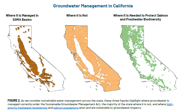
Addressing gaps in the Sustainable Groundwater Management Act which does not apply to the majority of the state’s streams. While the vast majority of groundwater withdrawals occur within SGMA basins, most of the state—and the majority of the state's streams—are not included.3 Avoiding impacts of new wells—whether inside a SGMA basin or not—is essential to managing groundwater levels sustainably, protecting groundwater dependent ecosystems, and promoting long-term water security and resilience against droughts and climate change impacts.
A Five Step Approach to Updating Well Ordinances
Counties can successfully update their ordinances in service to their communities, increasing the security of their water supplies while also protecting the health of local streams, fish, and wildlife. TNC and our partners are here to help.

Step 1: Identify & Map Resources
Identify and map public trust resources within the county where streamflow and groundwater dependent wildlife or ecosystems are at risk of negative impacts from additional well pumping.
Key initial steps in updating a well ordinance to protect public trust resources linked to surface waters are to: (1) identify the specific public trust uses supported by streamflow—such as fishing, navigation, and ecosystem health; and (2) map where these resources are located. While public trust protections are most clearly tied to navigable waters, local governments should include other surface waters that support sensitive or highly valued habitats, regardless of navigability. Several counties that have undertaken efforts to update their ordinances so far have focused on salmon and steelhead as their primary public trust resources to determine which streams and watersheds to assess for potential impacts from new wells. The logic for focusing on these fish, in addition to being state-listed species, is that they are present in all times of the year and flows that meet their life-history needs are likely to meet those of other species and support general ecosystem health.
Informational resources: TNC mapped California’s groundwater dependent ecosystems and high-priority rivers. This map and other resources can be easily accessed through the Groundwater Resource Hub.
Step 2: Protective Thresholds & Goals
Identify protective streamflow thresholds for selected public trust resources to guide development of management goals, assessment of existing conditions, and establishment of protective standards.
To protect public trust resources and meet conservation goals, it’s important to define when a reduction in surface flow would significantly harm key species or habitats. For new wells, this means identifying how much streamflow is needed to support healthy populations and ecosystem functions. Streamflow needs are complex because they naturally change with the seasons and vary from dry to wet years. However, this variability in flow—its timing, amount, and duration—is critical for freshwater ecosystems; many species have adapted key life processes, such as migration and spawning, to these patterns. Setting ecological flow thresholds is also essential for evaluating current conditions (Step 3) and for creating standards and permitting rules (Step 4) that will be included in the well ordinance framework (Step 5).
Informational resources: TNC’s Natural Flows Database can help assess current stream conditions and flow needs even when there are no stream gages or data. TNC and partners developed the California Environmental Flows Framework to provide protective flow criteria and help managers determine how much water streams need for nature.
Step 3: Assess Existing Resources
Assess existing conditions of streamflow and groundwater resources to determine if current streamflow meets ecologically protective thresholds, including demands from existing water rights for both surface and groundwater in all water year-types.
This assessment helps determine whether streamflows are meeting the ecological thresholds identified in Step 2 and how they align with management goals. This process is key to identifying when, where, and how much streamflow might still be available to support new wells without harming ecosystems. To evaluate the risk of new wells, it’s important to have accurate data on streamflows across different types of water years. While some healthier streams may be able to handle small impacts, others already stressed by diversions, pumping, or land-use changes may be too impacted for additional unmitigated groundwater development.
Informational resources: The California Environmental Flows Framework provides information on existing streamflow conditions in some locations. TNC’s Gage Gap tool provides an easy way to find streamflow gage data. To assess existing water rights, the SWRCB’s California Water Accounting, Tracking, and Reporting System is a computer database developed to track information on water rights in California. For northern coastal watersheds, the Water Availability Tool is another source for information that can help assess whether there is water available for diversion without impacting existing water rights.
Step 4: Planning Support Resources
Develop groundwater availability maps and additional resources to aid in assessment and permitting decisions based on the degree of risk to public trust resources associated with further groundwater development throughout the county.
Counties can provide essential information and tools to support planning and permitting using the information from Steps 1–3 to identify areas where the addition of wells would not have a significant impact on a stream, depending on type, number, and size. In areas where additional wells pose significant risks, limits on pumping, mitigation requirements, and other measures can be developed. The process of developing groundwater availability maps and tools is complex and requires collecting data, analyzing them spatially, and assessing potential for streamflow depletion using hydrologic models.
Informational resources: To model the impacts of wells on streamflow across large geographies, TNC is developing an approach that pairs high- and low-resolution modeling tools. Low-resolution models (e.g., Analytical Depletion Function) require less data, time, and cost to develop and may be appropriate for large areas where depletion risks are low. Higher resolution models (e.g., USGS MODFLOW) might be necessary where the risk of streamflow depletion impacts on streamflow are higher.
Step 5: Develop Permitting Guidelines
Develop well ordinance, policy, and permitting guidelines that avoid negative impacts to communities, nature, and existing water users.
Cities and counties working to update their well ordinances can draw inspiration and practical insights from similar efforts by local governments throughout California. Valuable approaches include engaging stakeholders, forming technical advisory committees, integrating land-use planning, and establishing clear structures for policy development. To address uncertainty and data gaps, the permitting framework should be transparent, be adaptable to new information, and include clear reporting requirements to support compliance and the protection of public trust resources.
Get Design and Implementation Help
Learn more about TNC's scientific roadmap for county action.
Science-Based Tools to Support County Action
TNC and partners have created the following tools for resource managers to help with the well ordinance process.
-
GDE Pulse
Online Tool
This online tool allows users to explore the data for every GDE in California. Utilize this map to locate GDEs in your county. Learn More About GDE Pulse
Download -
Natural Flows Database
Online Tool
This online tool can access current stream conditions in your county even without gages or data.
Download -
California Environmental Flows Framework (CEFF)
Publication
Utilize CEFF to determine how much water streams need for nature and identify protective flow criteria for your streams.
Download
TNC, Trout Unlimited, and California Trout are here for you
Let's work together to build local resilience, meet legal obligations, and protect nature.
Partner with Us!
If you are interested in learning more about updating your county's well ordinance, send us an email to get started.